Navigation/track blazing task
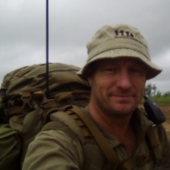
On the 27th April 2019 saw two QRAT members Mitchell Aitken and Nathan Gelhaar undertake a navigation/track blazing task.
The Wheel of Fire in Finch Hatton has a popular graded walking track allowing public access to it. Any rescue conducted at the wheel of fire is accessed via this track. The track crosses Finch Hatton Creek requiring rock hopping across this wide creek. If it has been raining the creek swells immediately and makes crossing it unsafe. The wheel of Fire swimming hole is a place where the energy of the waters is dissipated, and during flood could be safely negotiated by carefully swimming between the falls and rapids to establish a horizontal rescue line. Many, many years ago a track called Pearce’s Track was marked with tapes to allow access to the Wheel of fire without crossing Finch Hatton Creek. Nathan had been on several failed past attempts to locate and reblaze the track, allowing access if the need arose.
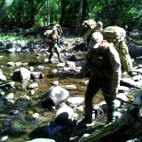
Mitchell and Nathan, in a continuous, heavy, tropical downpour navigated to, located, and moved along the original track using observational, path of least resistance, and terrain navigation concepts. Many of the old tapes were located on the ground, or protruding slightly from under the bark of trees. Critical landmarks were plotted on 1:25k topographic maps of the area.
Dense rainforest regrowth, steep terrain, wait a while, moonlighter, heavy rain, engorged creeks, and leaches made the event challenging, however the Vertical Access equipment was not required even though it was carried. After five hours of difficult going, Nathan and Mitch were rewarded with a cool swim in the Wheel of Fire, before a pie and a pot at the Pinnacle Pub.
A report containing the GPS track and landmark waypoints will be distributed to Mirani and Finch Hatton Police and the local Mirani SES group so that this local knowledge will be available if ever the need arises.
To our Sponsors and Donators
Thank you to
- SORD Australia for our chest rigs,
- Crossfire Australia for our Packs and boots,
- KTI and Sunshine Coast Regional Council for our Personal Locator Beacons,
- Mackay Regional Council for our GPS units,
- The Department of Natural Resources and Mines for the topographic map files,
- Seaforth MacKenzie for the wide format printer,
- Ergon Energy & Lawrie Ellis for our handheld radios, and
- The Gaming Community Benefit Fund for much of the cash used to purchase and develop the equipment used.
The Crossfire ‘Mule’ pack that has been given to us to test was put ‘to the test’ under the poor conditions and performed excellently. The ability to pack a range of odd shaped equipment onto the DG16 frame and strap system is invaluable. In this case the teams Vertical Access equipment was able to be quickly packed and compressed providing a slimline secure pack for the difficult vegetation. Well done Crossfire.
The SORD Australia chest rigs and pouches also performed faultlessly without damage while pushing through wait a while and being jammed and crushed against granite boulders. SORD Australia’s nylon equipment functions without damage in the most adverse of conditions. Thanks SORD Australia.
Without the continued support of the public, businesses and government, QRAT would not be able to function or grow.
Thanks

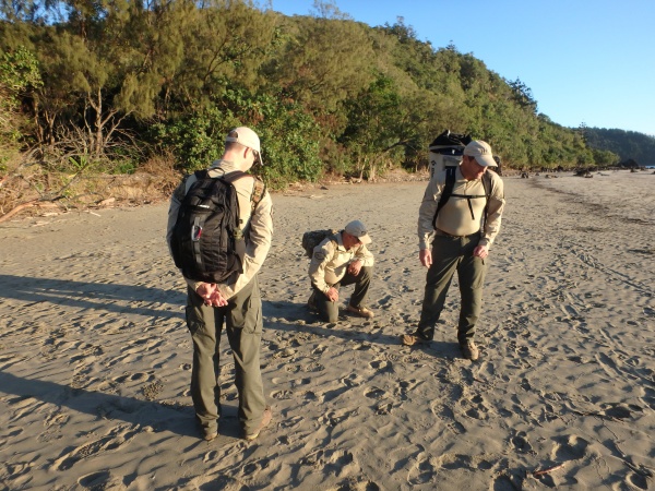
Great day in preparation for the water wading that the teams had to do at a recent activation.